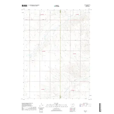
2017 Map of Star
USGS Topo · Published 2017About this map
Star sits along the northern edge of this Nebraska landscape, located where the section-line roads of Holt Co and Knox Co meet. The terrain is defined by the winding drainages of the N Br Verdigre Cr and the Middle Br Verdigre Cr, which carve through the prairie and create a complex network of ridges and draws. Farther south, the small settlement of Grimton remains anchored by the Grimton Cem, a key landmark for genealogists and local historians tracing family lineages in this rural corner of the state. The map details a strictly organized grid of rural routes, such as Township Rd and Co Oil Rd, which provide access to the remote agricultural sections and scattered farmsteads that characterize the region's 21st-century development.
Find a feature on this map
24 named features on this map. Tap any name to fly to it.
Don’t see what you’re looking for? This feature index may not catch every label — zoom into the map to look around manually.
Map Details
Editions of this 2017 Star Map
This is the sole edition of this map. No revisions or reprints were ever made.
Other maps of this area

1950 · Dorsey NW
USGS Topo · 1:24,000

1950 · Pishelville
USGS Topo · 1:24,000

1952 · Dorsey
USGS Topo · 1:24,000

1954 · Walnut
USGS Topo · 1:24,000

1954 · Dorsey SW
USGS Topo · 1:24,000

1954 · Star
USGS Topo · 1:24,000

1955 · O'Neill
USGS Topo · 1:250,000

1958 · Page
USGS Topo · 1:24,000

1959 · O'Neill
USGS Topo · 1:250,000

1963 · Venus
USGS Topo · 1:24,000