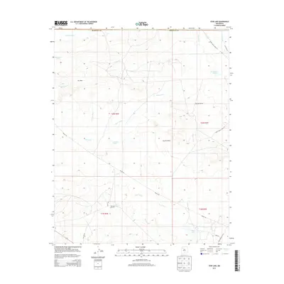
2013 Map of Star Lake
USGS Topo · Published 2013About this map
The Star Lake Trading Post serves as a focal point for this high-desert region of McKinley Co, reflecting the long-standing commercial patterns of the Eastern Navajo Agency. The landscape is defined by the expansive Chaco Wash and its various tributaries, including Salazar Wash and Encino Wash, which carve through the arid terrain. Distinctive geological formations such as Pot Mesa and the escarpment of Ceja del Raton provide significant vertical relief against the surrounding flats.
Find a feature on this map
28 named features on this map. Tap any name to fly to it.
Don’t see what you’re looking for? This feature index may not catch every label — zoom into the map to look around manually.
Map Details
Editions of this 2013 Star Lake Map
This is the sole edition of this map. No revisions or reprints were ever made.
Other maps of this area

1883 · Mt. Taylor
USGS Topo · 1:250,000

1886 · Mt. Taylor
USGS Topo · 1:250,000

1889 · Largo
USGS Topo · 1:250,000

1892 · Mt. Taylor
USGS Topo · 1:250,000

1895 · Largo
USGS Topo · 1:250,000

1899 · Mt. Taylor
USGS Topo · 1:250,000

1954 · Aztec
USGS Topo · 1:250,000

1958 · Aztec
USGS Topo · 1:250,000

1958 · Albuquerque
USGS Topo · 1:250,000

1960 · Pueblo Alto Trading Post
USGS Topo · 1:24,000