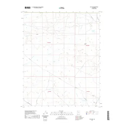
2020 Map of Star Lake
USGS Topo · Published 2020About this map
Chaco Wash winds through this high desert region of the Eastern Navajo Agency, defining a landscape where ephemeral water sources are the primary landmarks. The presence of Star Lake, Papers Lake, and the clustered Calladito Lakes suggests a topography of seasonal basins and drainage sinks. These features, along with names like Mosquito Tank and Franciscan Lake, provide critical orientation points in an area otherwise dominated by broad plateaus and mesas.
Find a feature on this map
27 named features on this map. Tap any name to fly to it.
Don’t see what you’re looking for? This feature index may not catch every label — zoom into the map to look around manually.
Map Details
Editions of this 2020 Star Lake Map
This is the sole edition of this map. No revisions or reprints were ever made.
Other maps of this area

1883 · Mt. Taylor
USGS Topo · 1:250,000

1886 · Mt. Taylor
USGS Topo · 1:250,000

1889 · Largo
USGS Topo · 1:250,000

1892 · Mt. Taylor
USGS Topo · 1:250,000

1895 · Largo
USGS Topo · 1:250,000

1899 · Mt. Taylor
USGS Topo · 1:250,000

1954 · Aztec
USGS Topo · 1:250,000

1958 · Aztec
USGS Topo · 1:250,000

1958 · Albuquerque
USGS Topo · 1:250,000

1960 · Pueblo Alto Trading Post
USGS Topo · 1:24,000