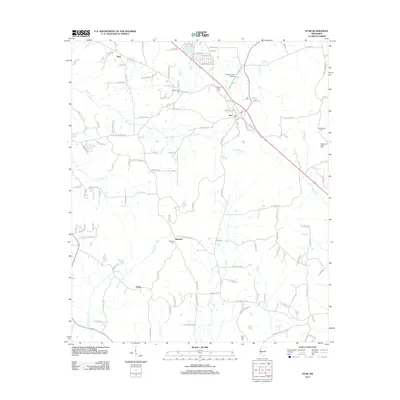
2012 Map of Star
USGS Topo · Published 2012About this map
The community of Star serves as a central hub in this part of Mississippi, situated near the intersection of several local roads and the headwaters of Mountain Cr. This 2012 survey illustrates a landscape defined by small rural settlements and an extensive network of creeks, including Hominy Cr and Limestone Cr, which drain the undulating terrain. Genealogists will find significant value in the distribution of family and community burial grounds across the quadrangle, from Morning Star Cem near the town center to the more outlying Wesleyanna Cem and Campbellite Cem. Smaller named locales like Anse, Rexford, and Gama are interconnected by a dense grid of local routes such as Westville Rd and Old 49 S, reflecting a long-established pattern of southern rural settlement and land use.
Find a feature on this map
125 named features on this map. Tap any name to fly to it.
Don’t see what you’re looking for? This feature index may not catch every label — zoom into the map to look around manually.
Map Details
Editions of this 2012 Star Map
This is the sole edition of this map. No revisions or reprints were ever made.
Other maps of this area

1903 · Jackson
USGS Topo · 1:125,000

1906 · Florence
USGS Topo · 1:62,500

1908 · Florence
USGS Topo · 1:62,500

1953 · Hattiesburg
USGS Topo · 1:250,000

1953 · Meridian
USGS Topo · 1:250,000

1953 · Natchez
USGS Topo · 1:250,000

1955 · Jackson
USGS Topo · 1:250,000

1956 · Natchez
USGS Topo · 1:250,000

1957 · Meridian
USGS Topo · 1:250,000

1958 · Hattiesburg
USGS Topo · 1:250,000