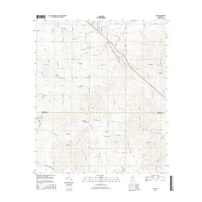
2015 Map of Star
USGS Topo · Published 2015About this map
The settlement of Star and its surrounding rural communities lie along the border of Rankin and Simpson Counties in this mid-2010s topographic survey. The landscape is defined by the headwaters of numerous waterways, including Mountain Creek and Hominy Creek in the north, while Big Creek and Limestone Creek drain the southern sections toward Gama. This geography reveals a pattern of ridge-top road development, with family and community identity centered on local landmarks such as Falcon Field and several smaller hubs like Anse and Rexford. Genealogists will find a high density of burial grounds, including the Wesleyanna Cemetery, Star Cemetery, and New Zion Cemetery, reflecting the enduring settlement of this central Mississippi region.
Find a feature on this map
111 named features on this map. Tap any name to fly to it.
Don’t see what you’re looking for? This feature index may not catch every label — zoom into the map to look around manually.
Map Details
Editions of this 2015 Star Map
This is the sole edition of this map. No revisions or reprints were ever made.
Other maps of this area

1903 · Jackson
USGS Topo · 1:125,000

1906 · Florence
USGS Topo · 1:62,500

1908 · Florence
USGS Topo · 1:62,500

1953 · Hattiesburg
USGS Topo · 1:250,000

1953 · Meridian
USGS Topo · 1:250,000

1953 · Natchez
USGS Topo · 1:250,000

1955 · Jackson
USGS Topo · 1:250,000

1956 · Natchez
USGS Topo · 1:250,000

1957 · Meridian
USGS Topo · 1:250,000

1958 · Hattiesburg
USGS Topo · 1:250,000