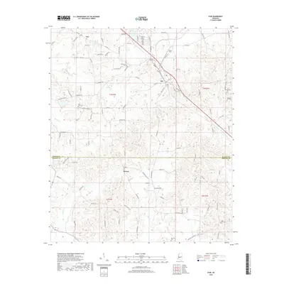
2018 Map of Star
USGS Topo · Published 2018About this map
The settlement of Star sits at the junction of modern thoroughfares and older routes like Loflin Rd and Westville Rd, serving as a central point along the border of Rankin and Simpson Counties. The surrounding landscape is defined by the winding paths of Mountain Cr and Limestone Cr, which carve through the undulating terrain south of Anse. This area is characterized by a dense network of family-linked roads and rural communities, each anchored by local landmarks such as the Morning Star Cem and Wesleyanna Cem.
Find a feature on this map
109 named features on this map. Tap any name to fly to it.
Don’t see what you’re looking for? This feature index may not catch every label — zoom into the map to look around manually.
Map Details
Editions of this 2018 Star Map
This is the sole edition of this map. No revisions or reprints were ever made.
Other maps of this area

1903 · Jackson
USGS Topo · 1:125,000

1906 · Florence
USGS Topo · 1:62,500

1908 · Florence
USGS Topo · 1:62,500

1953 · Hattiesburg
USGS Topo · 1:250,000

1953 · Meridian
USGS Topo · 1:250,000

1953 · Natchez
USGS Topo · 1:250,000

1955 · Jackson
USGS Topo · 1:250,000

1956 · Natchez
USGS Topo · 1:250,000

1957 · Meridian
USGS Topo · 1:250,000

1958 · Hattiesburg
USGS Topo · 1:250,000