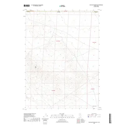
2018 Map of Star Valley Ridge East
USGS Topo · Published 2018About this map
Star Valley Ridge dominates the central portion of this 2018 survey, providing a detailed look at the high-desert topography where the Great Basin meets the Snake River Plain. The map documents the high-altitude terrain along the border between Elko County, Nevada, and Owyhee County, Idaho. This sparsely settled region is defined by the northern reaches of the Owyhee Desert, where complex drainage patterns and ridgelines characterize the landscape far from major urban centers. Detailed contour work illustrates the transition between the Nevada mountains and the Idaho plateaus, offering researchers a clear view of the jurisdictional boundaries and public land survey system lines that organize this remote corner of the American West.
Find a feature on this map
4 named features on this map. Tap any name to fly to it.
Don’t see what you’re looking for? This feature index may not catch every label — zoom into the map to look around manually.
Map Details
Editions of this 2018 Star Valley Ridge East Map
This is the sole edition of this map. No revisions or reprints were ever made.
Other maps of this area

1955 · McDermitt
USGS Topo · 1:250,000

1955 · Jordan Valley
USGS Topo · 1:250,000

1957 · Jordan Valley
USGS Topo · 1:250,000

1958 · Jordan Valley
USGS Topo · 1:250,000

1959 · McDermitt
USGS Topo · 1:250,000

1973 · Coyote Hole
USGS Topo · 1:24,000

1973 · Bull Camp Butte
USGS Topo · 1:24,000

1973 · Star Valley Ridge SW
USGS Topo · 1:24,000
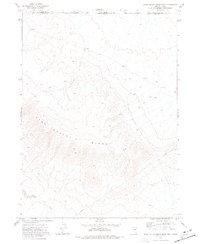
1973 · Star Valley Ridge East
USGS Topo · 1:24,000
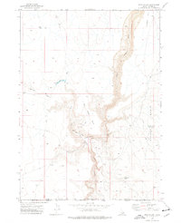
1973 · Star Valley
USGS Topo · 1:24,000