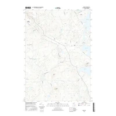
2016 Map of Stark
USGS Topo · Published 2016About this map
The Stark settlement and the surrounding Adirondack wilderness are defined by the intensive water management systems of the Racquette River corridor. This 2016 survey documents a landscape of dramatic elevation changes and managed waterways, including Rainbow Falls Reservoir, Blake Falls Reservoir, and Stark Falls Reservoir. The map reveals a mix of early 21st-century infrastructure and long-standing geographical markers, such as the Irish Settlement in the northwest and Stark Lndg along the river. Much of the southern and western portions are dominated by the Adirondack Park Preserve, where the terrain rises toward Catamount Mtn and Baldface Mtn. The intricate drainage network of the North Branch Grass River and numerous ponds like French Lake and Church Pond show the complex hydrology that continues to shape Saint Lawrence County.
Find a feature on this map
47 named features on this map. Tap any name to fly to it.
Don’t see what you’re looking for? This feature index may not catch every label — zoom into the map to look around manually.
Map Details
Editions of this 2016 Stark Map
This is the sole edition of this map. No revisions or reprints were ever made.
Other maps of this area

1908 · Potsdam
USGS Topo · 1:62,500

1919 · Nicholville
USGS Topo · 1:62,500

1920 · Childwold
USGS Topo · 1:62,500

1921 · Childwold
USGS Topo · 1:48,000

1921 · Nicholville
USGS Topo · 1:62,500

1921 · Stark
USGS Topo · 1:62,500

1922 · Childwold
USGS Topo · 1:62,500

1923 · Stark
USGS Topo · 1:62,500

1940 · Stark
USGS Topo · 1:62,500

1942 · Long Bow
USGS Topo · 1:24,000