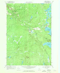
1968 Map of Stark
USGS Topo · Published 1971About this map
The Raquette River corridor dominates this survey, showing a highly managed landscape defined by hydroelectric development and recreational activity within the Adirondack Park. The presence of Blake Falls Reservoir, Stark Falls Reservoir, and the northern edge of Carry Falls Reservoir indicates an era of intensive water management, supported by infrastructure like the Stark Falls Dam and a nearby powerplant. These man-made water bodies contrast with the natural flow of the North Branch Grass River and numerous isolated ponds like French Lake and Ormesbee Pond.
Find a feature on this map
43 named features on this map. Tap any name to fly to it.
Don’t see what you’re looking for? This feature index may not catch every label — zoom into the map to look around manually.
Map Details
Editions of this 1968 Stark Map
This is the sole edition of this map. No revisions or reprints were ever made.
Other maps of this area

1908 · Potsdam
USGS Topo · 1:62,500

1919 · Nicholville
USGS Topo · 1:62,500

1920 · Childwold
USGS Topo · 1:62,500

1921 · Childwold
USGS Topo · 1:48,000

1921 · Nicholville
USGS Topo · 1:62,500

1921 · Stark
USGS Topo · 1:62,500

1922 · Childwold
USGS Topo · 1:62,500

1923 · Stark
USGS Topo · 1:62,500

1940 · Stark
USGS Topo · 1:62,500

1942 · Long Bow
USGS Topo · 1:24,000