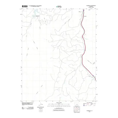
2010 Map of Starkville
USGS Topo · Published 2010About this map
Starkville and the industrial remnants of the Southern Colorado coalfields define this landscape along the interstate corridor. The map highlights the significant mining history of the region, featuring the Starkville Mines near the northern boundary and the Morley Mine located to the south. This area is characterized by a complex network of deep drainages including Saruche Canyon, Frisco Canyon, and Coalbank Canyon that feed into the valley of Raton Creek. A notable cultural landmark is the Fraternide de Nuestro Padre Jesus Mi Senora Del Carmel, reflecting the local heritage. To the south, the settlement of Morley sits near the head of the valley, while the Starkville Cemetery remains as a quiet witness to the generations who worked these canyon-cut hills.
Find a feature on this map
18 named features on this map. Tap any name to fly to it.
Don’t see what you’re looking for? This feature index may not catch every label — zoom into the map to look around manually.
Map Details
Editions of this 2010 Starkville Map
This is the sole edition of this map. No revisions or reprints were ever made.
Other maps of this area

1891 · Spanish Peaks
USGS Topo · 1:125,000

1892 · Elmoro
USGS Topo · 1:125,000

1893 · Spanish Peaks
USGS Topo · 1:125,000

1893 · Elmoro
USGS Topo · 1:125,000

1895 · Spanish Peaks
USGS Topo · 1:125,000

1897 · Elmoro
USGS Topo · 1:125,000

1897 · Spanish Peaks
USGS Topo · 1:125,000

1900 · Spanish Peaks
USGS Topo · 1:125,000

1912 · Raton
USGS Topo · 1:62,500

1914 · Raton
USGS Topo · 1:62,500