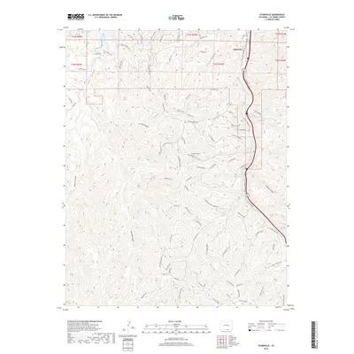
2019 Map of Starkville
USGS Topo · Published 2019About this map
Starkville anchors the northeastern corner of this landscape, where the valley terrain meets the built environment of Railroad Ave and the Starkville Cem. This 2019 survey documents a complex network of canyons and ridges, including the prominent Long Canyon and Oso Canyon. The map reveals the area's industrial legacy through labels like the Sopris Mine Trl and Old Sopris Trl, which hint at the region's historical connection to coal mining and the nearby former town of Sopris. Drainage patterns are clearly defined by Gallinas Cr and Long Creek, which wind through a series of steep topographic features. This modern topographic record captures the evolution of local infrastructure, showing a transition from traditional mining-era routes to contemporary developments like Vista West Dr and Wildlife Dr.
Find a feature on this map
89 named features on this map. Tap any name to fly to it.
Don’t see what you’re looking for? This feature index may not catch every label — zoom into the map to look around manually.
Map Details
Editions of this 2019 Starkville Map
This is the sole edition of this map. No revisions or reprints were ever made.
Other maps of this area

1891 · Spanish Peaks
USGS Topo · 1:125,000

1892 · Elmoro
USGS Topo · 1:125,000

1893 · Spanish Peaks
USGS Topo · 1:125,000

1893 · Elmoro
USGS Topo · 1:125,000

1895 · Spanish Peaks
USGS Topo · 1:125,000

1897 · Elmoro
USGS Topo · 1:125,000

1897 · Spanish Peaks
USGS Topo · 1:125,000

1900 · Spanish Peaks
USGS Topo · 1:125,000

1912 · Raton
USGS Topo · 1:62,500

1914 · Raton
USGS Topo · 1:62,500