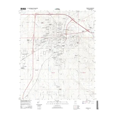
2015 Map of Starkville
USGS Topo · Published 2015About this map
Starkville serves as the central hub of this 2015 study, surrounded by a dense network of residential developments including Magnolia Heights, Nashdale, and Sheely Hills. The landscape is defined by the convergence of several waterways, notably Trim Cane Cr and Sand Cr to the north, and the curiously named Tobacco Juice Cr to the southwest. Educational and communal centers are prominent, with College View and Southdale bordering the grounds of Mississippi State University. For those researching local family history, the map identifies several burial sites, such as the Associated Reform Presbyterian Cem and Boyd Cem, alongside the George M Bryan Airport which anchors the city's southwestern edge. The map reflects a modern Southern university town where rapid suburban expansion meets traditional agricultural and creek-bottom lands, evidenced by the numerous named hills and residential parks that have replaced earlier rural tracts.
Find a feature on this map
79 named features on this map. Tap any name to fly to it.
Don’t see what you’re looking for? This feature index may not catch every label — zoom into the map to look around manually.
Map Details
Editions of this 2015 Starkville Map
This is the sole edition of this map. No revisions or reprints were ever made.
Other maps of this area

1953 · West Point
USGS Topo · 1:250,000

1958 · West Point
USGS Topo · 1:250,000

1959 · Artesia
USGS Topo · 1:62,500

1959 · West Point
USGS Topo · 1:62,500

1959 · Pheba
USGS Topo · 1:62,500

1963 · West Point
USGS Topo · 1:250,000

1965 · Starkville
USGS Topo · 1:24,000

1965 · Bluff Lake
USGS Topo · 1:24,000

1965 · Longview
USGS Topo · 1:24,000

1965 · Bradley
USGS Topo · 1:24,000