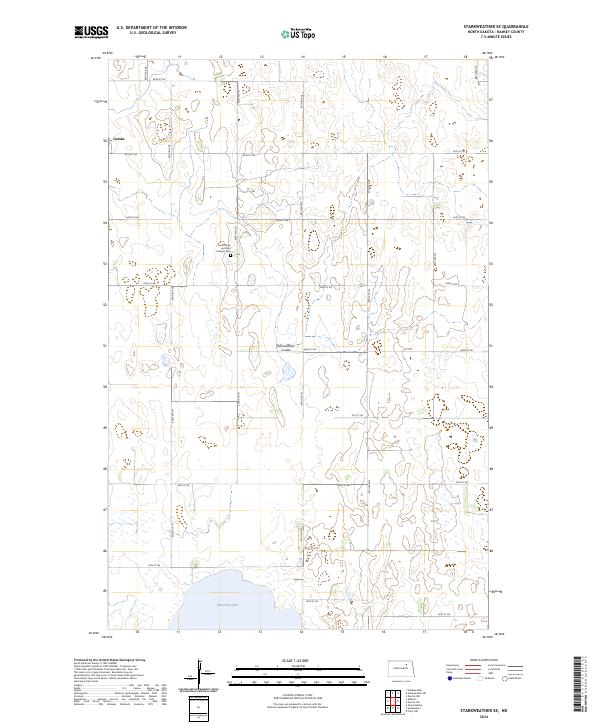
2024 Map of Starkweather SE
USGS Topo · Published 2024About this map
Morrison Lake and the wetlands of the Starkweather Coulee dominate this landscape in Ramsey County, where the topography is defined by the glacial depressions of the Prairie Pothole Region. The small community of Garske sits in the northwest, serving as a landmark for a region primarily organized by its agricultural section lines. For local historians and genealogists, the Saints Peter and Paul Catholic Cem is a significant site, located along 83rd Ave NE. The map reveals a highly structured grid of section roads, including 66th St NE and 82nd Ave NE, which navigate around numerous small water bodies and seasonal basins typical of this North Dakota terrain.
Find a feature on this map
25 named features on this map. Tap any name to fly to it.
Don’t see what you’re looking for? This feature index may not catch every label — zoom into the map to look around manually.
Map Details
Editions of this 2024 Starkweather SE Map
This is the sole edition of this map. No revisions or reprints were ever made.
Other maps of this area

1931 · Devils Lake
USGS Topo · 1:62,500

1950 · Devils Lake
USGS Topo · 1:62,500

1951 · Grand Harbor
USGS Topo · 1:24,000

1951 · Sweetwater
USGS Topo · 1:24,000

1953 · Devils Lake
USGS Topo · 1:250,000

1956 · Devils Lake
USGS Topo · 1:250,000

1957 · Starkweather SE
USGS Topo · 1:24,000

1957 · Webster
USGS Topo · 1:24,000

1962 · Starkweather
USGS Topo · 1:24,000

1962 · Starkweather NE
USGS Topo · 1:24,000