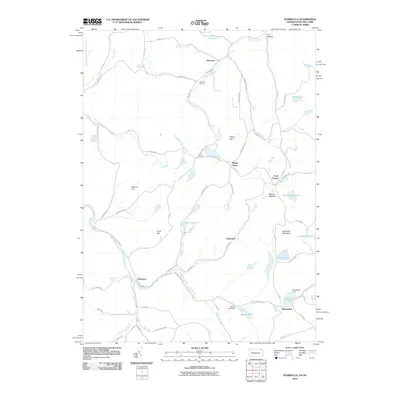
2010 Map of Starrucca
USGS Topo · Published 2010About this map
Starrucca and Shehawken anchor this landscape along the border of Pennsylvania and New York, where the terrain is defined by the winding paths of Sherman Creek and Starrucca Creek. The area is dotted with numerous high-altitude water bodies, including Island Lake, Hiawatha Lake, and Shehawken Lake, reflecting a glacial topography of upland basins and narrow valleys. Local crossroads such as Gardinier Corners and Farrell Corners suggest a long-standing network of rural travel and small-scale settlement.
Find a feature on this map
69 named features on this map. Tap any name to fly to it.
Don’t see what you’re looking for? This feature index may not catch every label — zoom into the map to look around manually.
Map Details
Editions of this 2010 Starrucca Map
This is the sole edition of this map. No revisions or reprints were ever made.
Other maps of this area

1905 · Nineveh
USGS Topo · 1:62,500

1924 · Starrucca
USGS Topo · 1:48,000

1924 · Deposit
USGS Topo · 1:62,500

1926 · Deposit
USGS Topo · 1:62,500

1926 · Starrucca
USGS Topo · 1:62,500

1930 · Starrucca
USGS Topo · 1:48,000

1932 · Susquehanna
USGS Topo · 1:62,500

1933 · Starrucca
USGS Topo · 1:62,500

1935 · Susquehanna
USGS Topo · 1:62,500

1943 · Honesdale
USGS Topo · 1:125,000