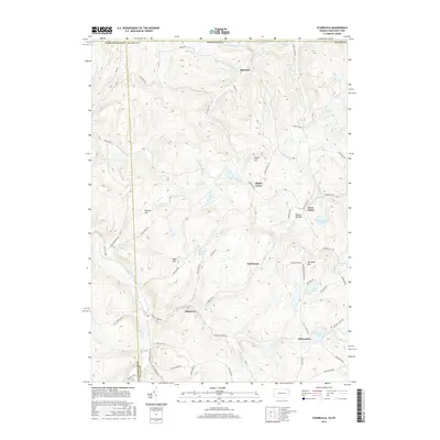
2016 Map of Starrucca
USGS Topo · Published 2016About this map
Starrucca Creek and Shadigee Creek carve through the high terrain of the Pennsylvania and New York borderlands, defining a landscape of narrow valleys and isolated peaks. This 2016 survey shows the enduring rural character of the region, where small settlements like Starrucca and Shehawken are linked by a network of winding roads such as Ghost Mountain Rd and Little Ireland Rd. The map is particularly detailed in its depiction of the many small lakes and ponds that dot the upland basins, including Island Lake, Hiwatha Lake, and Shehawken Lake. Significant landmarks like Bucks Falls and Shrawder Mtn provide clear orientation points for those exploring the rugged border of Wayne County. The distribution of scattered homesteads and the persistence of place names like Maple Grove and Scott Center reflect the long-standing agricultural and timber-based heritage of the northern Alleghenies.
Find a feature on this map
74 named features on this map. Tap any name to fly to it.
Don’t see what you’re looking for? This feature index may not catch every label — zoom into the map to look around manually.
Map Details
Editions of this 2016 Starrucca Map
This is the sole edition of this map. No revisions or reprints were ever made.
Other maps of this area

1905 · Nineveh
USGS Topo · 1:62,500

1924 · Starrucca
USGS Topo · 1:48,000

1924 · Deposit
USGS Topo · 1:62,500

1926 · Deposit
USGS Topo · 1:62,500

1926 · Starrucca
USGS Topo · 1:62,500

1930 · Starrucca
USGS Topo · 1:48,000

1932 · Susquehanna
USGS Topo · 1:62,500

1933 · Starrucca
USGS Topo · 1:62,500

1935 · Susquehanna
USGS Topo · 1:62,500

1943 · Honesdale
USGS Topo · 1:125,000