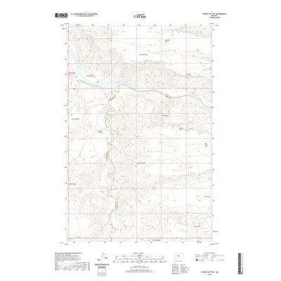
2020 Map of Starve Out Flat
USGS Topo · Published 2020About this map
Starve Out Flat lies within a deeply dissected breaks landscape where the border of Chouteau and Fergus counties follows the winding course of Arrow Creek. This 2020 edition documents a region of high plateaus and alluvial bottomlands along the Missouri River, which cuts through the northern portion of the map. The geography is characterized by several distinct "benches"—flat-topped landforms like Eightmile Bench, Canavan Bench, Missouri Bench, and Evers Bench—that overlook the intricate drainage networks. Notable features like The Wall and the sharp descents into The Little Sag and The Big Sag illustrate the dramatic elevation changes that have historically dictated land use and travel in this part of Montana. Remote water sources such as Lohse Spring and Cow Camp Spring are critical markers in this sparsely populated terrain, while Sneath Bottom provides a rare expanse of lower-elevation terrain tucked against the river bend.
Find a feature on this map
21 named features on this map. Tap any name to fly to it.
Don’t see what you’re looking for? This feature index may not catch every label — zoom into the map to look around manually.
Map Details
Editions of this 2020 Starve Out Flat Map
This is the sole edition of this map. No revisions or reprints were ever made.
Other maps of this area

1953 · Starve Out Flat
USGS Topo · 1:24,000

1953 · Last Chance Bench
USGS Topo · 1:24,000

1954 · P N Ranch
USGS Topo · 1:24,000

1954 · Iliad
USGS Topo · 1:24,000

1954 · Dark Butte
USGS Topo · 1:24,000

1954 · Lewistown
USGS Topo · 1:250,000

1959 · Lewistown
USGS Topo · 1:250,000

1964 · Wolf Creek Falls
USGS Topo · 1:24,000

1964 · Pigtail Coulee
USGS Topo · 1:24,000

1964 · Spring Coulee
USGS Topo · 1:24,000