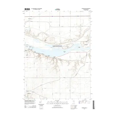
2015 Map of Starved Rock
USGS Topo · Published 2015About this map
Starved Rock and its surrounding canyons dominate this portion of the Illinois River valley as it appeared in the mid-2010s. The landscape is defined by the sharp transition between the upland agricultural plains and the deeply incised drainage systems like Higbee Ravine and Illinois Canyon. Along the river, the historic path of the Illinois and Michigan Canal National Heritage Corridor runs parallel to the modern waterway, passing industrial sites in Naplate and the western edge of Ottawa. Further south, the Vermillionville Cem marks the site of the Vermilionville settlement near the banks of the Vermilion River. This survey captures the complex topography of the river bluffs, where numerous named features such as Wildcat Canyon and Kaskaskia Canyon cut through the sandstone layers, creating a distinct geological corridor between North Utica and the county seat.
Find a feature on this map
62 named features on this map. Tap any name to fly to it.
Don’t see what you’re looking for? This feature index may not catch every label — zoom into the map to look around manually.
Map Details
Editions of this 2015 Starved Rock Map
This is the sole edition of this map. No revisions or reprints were ever made.
Other maps of this area

1892 · Ottawa
USGS Topo · 1:62,500

1893 · Lasalle
USGS Topo · 1:62,500

1911 · La Salle
USGS Topo · 1:62,500

1913 · La Salle
USGS Topo · 1:62,500

1915 · Ottawa
USGS Topo · 1:62,500

1925 · Streator
USGS Topo · 1:62,500

1927 · Streator
USGS Topo · 1:62,500

1934 · Wenona
USGS Topo · 1:48,000

1939 · Wenona
USGS Topo · 1:62,500

1946 · Ottawa
USGS Topo · 1:62,500