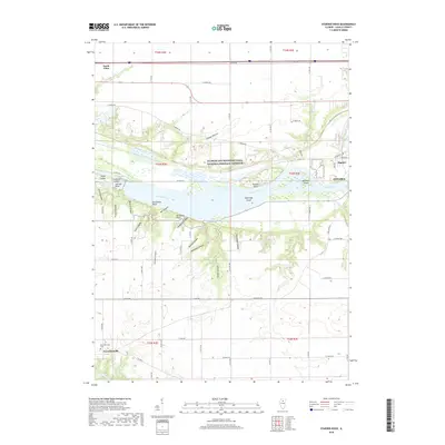
2018 Map of Starved Rock
USGS Topo · Published 2018About this map
Starved Rock and its surrounding canyons define the deep relief of this LaSalle County landscape where the Illinois River cuts through the bedrock. This 2018 survey documents the river's path as it flows past a series of islands, including Plum Island, Leopold Island, and Sheehan Island, while encountering a complex system of side drainages like French Canyon and Kaskaskia Canyon. The northern half of the map is dominated by the Illinois and Michigan Canal National Heritage Corridor, a vital piece of the region's historical industrial infrastructure that parallels the modern river.
Find a feature on this map
48 named features on this map. Tap any name to fly to it.
Don’t see what you’re looking for? This feature index may not catch every label — zoom into the map to look around manually.
Map Details
Editions of this 2018 Starved Rock Map
This is the sole edition of this map. No revisions or reprints were ever made.
Other maps of this area

1892 · Ottawa
USGS Topo · 1:62,500

1893 · Lasalle
USGS Topo · 1:62,500

1911 · La Salle
USGS Topo · 1:62,500

1913 · La Salle
USGS Topo · 1:62,500

1915 · Ottawa
USGS Topo · 1:62,500

1925 · Streator
USGS Topo · 1:62,500

1927 · Streator
USGS Topo · 1:62,500

1934 · Wenona
USGS Topo · 1:48,000

1939 · Wenona
USGS Topo · 1:62,500

1946 · Ottawa
USGS Topo · 1:62,500