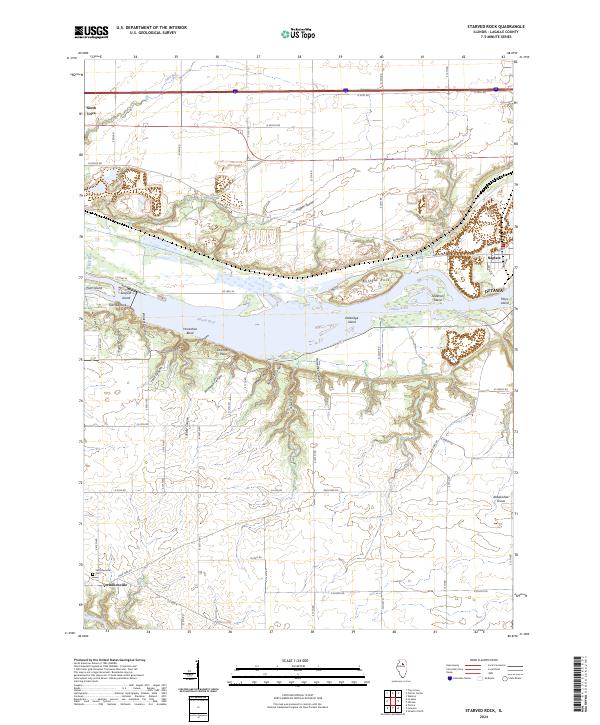
2024 Map of Starved Rock
USGS Topo · Published 2024About this map
Starved Rock and Buffalo Rock dominate the landscape of the Illinois River valley on this contemporary survey. The terrain is defined by a dense series of sandstone bluffs and tributary ravines, including French Canyon, Wildcat Canyon, and Kaskaskia Canyon. These geological features overlook Parkmans Plain and the Illinois River, which is dotted with several significant islands such as Plum Island and Leopold Island.
Find a feature on this map
46 named features on this map. Tap any name to fly to it.
Don’t see what you’re looking for? This feature index may not catch every label — zoom into the map to look around manually.
Map Details
Editions of this 2024 Starved Rock Map
This is the sole edition of this map. No revisions or reprints were ever made.
Other maps of this area

1892 · Ottawa
USGS Topo · 1:62,500

1893 · Lasalle
USGS Topo · 1:62,500

1911 · La Salle
USGS Topo · 1:62,500

1913 · La Salle
USGS Topo · 1:62,500

1915 · Ottawa
USGS Topo · 1:62,500

1925 · Streator
USGS Topo · 1:62,500

1927 · Streator
USGS Topo · 1:62,500

1934 · Wenona
USGS Topo · 1:48,000

1939 · Wenona
USGS Topo · 1:62,500

1946 · Ottawa
USGS Topo · 1:62,500