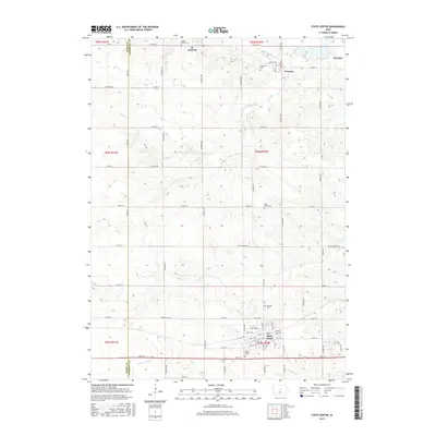
2015 Map of State Center
USGS Topo · Published 2015About this map
The agricultural landscape of Marshall County and Story County is anchored by the hub of State Center, showing the town's grid and its proximity to the headwaters of the N Skunk River. This 2015 survey reveals a pattern of dispersed rural settlements including St. Anthony, Clemons, and the community of Bromley, each connected by a rigorous section-line road network. The map holds significant value for genealogists, as it meticulously identifies numerous local burial sites such as Hillside Cem, Saint Josephs Cem, Saint Johns Cem, Sacred Hearts Cem, and Clemons Cem. The topography is defined by the winding paths of S Minerva Cr, Middle Minerva Cr, and Linn Cr, which carve through the fertile Iowa plains. The transition from the rural northern townships of t85n r20w down to the established streets of State Center illustrates the enduring midwestern layout of small-town centers surrounded by productive farmland.
Find a feature on this map
71 named features on this map. Tap any name to fly to it.
Don’t see what you’re looking for? This feature index may not catch every label — zoom into the map to look around manually.
Map Details
Editions of this 2015 State Center Map
This is the sole edition of this map. No revisions or reprints were ever made.
Other maps of this area

1954 · Waterloo
USGS Topo · 1:250,000

1954 · Des Moines
USGS Topo · 1:250,000

1955 · Waterloo
USGS Topo · 1:250,000

1956 · Des Moines
USGS Topo · 1:250,000

1957 · Des Moines
USGS Topo · 1:250,000

1969 · Des Moines
USGS Topo · 1:250,000

1975 · State Center NW
USGS Topo · 1:24,000

1975 · State Center
USGS Topo · 1:24,000

1975 · Union
USGS Topo · 1:24,000

1975 · Rhodes
USGS Topo · 1:24,000