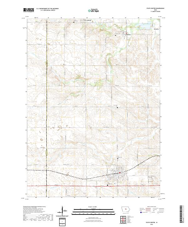
2022 Map of State Center
USGS Topo · Published 2022About this map
State Center serves as the primary hub in this central Iowa landscape, where the town's grid is meticulously detailed with streets from 5th St SW to E Main St. The surrounding countryside in Marshall and Story counties is defined by a systematic section line road network, punctuated by agricultural settlements and historic burial grounds. Genealogists can find numerous sites of interest, including Sacred Hearts Cem near St. Anthony and Saint Josephs Cem just south of the main town. The natural drainage of the region is traced by the N Skunk River in the south and various branches of the Minerva Creek system to the north. These waterways, including Linn Cr and Middle Minerva Cr, reveal the subtle undulations of the prairie land between small communities like Clemons and Bromley.
Find a feature on this map
46 named features on this map. Tap any name to fly to it.
Don’t see what you’re looking for? This feature index may not catch every label — zoom into the map to look around manually.
Map Details
Editions of this 2022 State Center Map
This is the sole edition of this map. No revisions or reprints were ever made.
Other maps of this area

1954 · Waterloo
USGS Topo · 1:250,000

1954 · Des Moines
USGS Topo · 1:250,000

1955 · Waterloo
USGS Topo · 1:250,000

1956 · Des Moines
USGS Topo · 1:250,000

1957 · Des Moines
USGS Topo · 1:250,000

1969 · Des Moines
USGS Topo · 1:250,000

1975 · State Center NW
USGS Topo · 1:24,000

1975 · State Center
USGS Topo · 1:24,000

1975 · Union
USGS Topo · 1:24,000

1975 · Rhodes
USGS Topo · 1:24,000