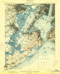
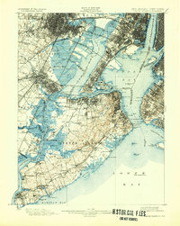
1900 Map of Staten Island
USGS Topo · Published 1913About this map
Staten Island and its surrounding waterways appear at the turn of the century as a landscape defined by maritime defense and industrial transit. Military installations guard the entrance to the inner harbor, with Fort Wadsworth and Fort Tompkins overlooking The Narrows toward Fort Hamilton on the Brooklyn shore. The island's interior is a mix of developing settlements and rural tracts, featuring names like Woods of Arden and Fresh Kills. Along the northern and western shores, the Staten Island Rapid Transit Railroad and the Baltimore and New York Railroad connect terminal towns like Elizabethport and Tottenville to the mainland. Significant landmarks include the Moravian Cemetery in the island's center and the Lower Quarantine Ship anchored in the Lower Bay, illustrating the island's critical role in managing New York's incoming maritime traffic and public health during this era.
Find a feature on this map
166 named features on this map. Tap any name to fly to it.
Don’t see what you’re looking for? This feature index may not catch every label — zoom into the map to look around manually.
Map Details
Editions of this 1900 Staten Island Map
10 editions found

1900 edition
16.2 x 19.4 inches
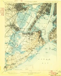
1902 edition
15.7 x 19.7 inches
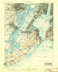
1904 edition
15.9 x 19.8 inches
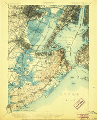
1906 edition
16.1 x 19.8 inches
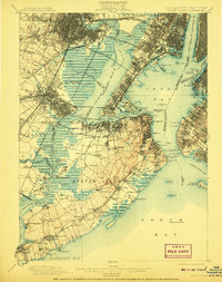
1908 edition
15.8 x 19.9 inches
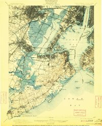
1909 edition
15.9 x 19.7 inches
1913 edition
16 x 19.7 inches
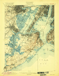
1920 edition
15.9 x 20.3 inches
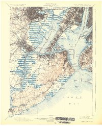
1926 edition
16.47 x 20.34 inches
1932 edition
16.4 x 20.6 inches
Other maps of this area

1888 · Plainfield
USGS Topo · 1:62,500

1888 · Morristown
USGS Topo · 1:62,500

1888 · New Brunswick
USGS Topo · 1:62,500

1888 · Paterson
USGS Topo · 1:62,500

1888 · Sandy Hook
USGS Topo · 1:62,500

1889 · Brooklyn
USGS Topo · 1:62,500

1891 · Brooklyn
USGS Topo · 1:62,500

1891 · Harlem
USGS Topo · 1:62,500

1892 · Paterson
USGS Topo · 1:62,500

1893 · New Brunswick
USGS Topo · 1:62,500