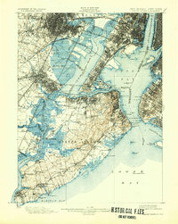
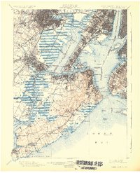
1900 Map of Staten Island
USGS Topo · Published 1932About this map
Staten Island is depicted here at the turn of the century, revealing a landscape defined by its intricate waterways and emerging rail infrastructure. The island is bound by the Arthur Kill and Kill Van Kull, with significant marshlands and drainage systems like Fresh Kills and Old Place Creek still dominating the western interior. While northern settlements such as New Brighton and St. George show dense development, the southern reaches near Tottenville and Richmond Valley retain a more rural character.
Find a feature on this map
154 named features on this map. Tap any name to fly to it.
Don’t see what you’re looking for? This feature index may not catch every label — zoom into the map to look around manually.
Map Details
Editions of this 1900 Staten Island Map
10 editions found

1900 edition
16.2 x 19.4 inches
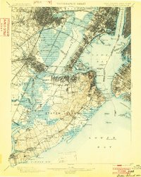
1902 edition
15.7 x 19.7 inches
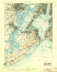
1904 edition
15.9 x 19.8 inches
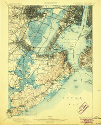
1906 edition
16.1 x 19.8 inches
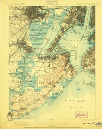
1908 edition
15.8 x 19.9 inches
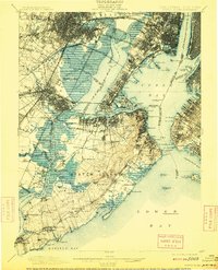
1909 edition
15.9 x 19.7 inches
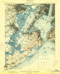
1913 edition
16 x 19.7 inches
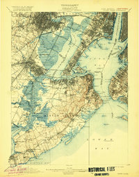
1920 edition
15.9 x 20.3 inches
1926 edition
16.47 x 20.34 inches
1932 edition
16.4 x 20.6 inches
Other maps of this area

1888 · Plainfield
USGS Topo · 1:62,500

1888 · Morristown
USGS Topo · 1:62,500

1888 · New Brunswick
USGS Topo · 1:62,500

1888 · Paterson
USGS Topo · 1:62,500

1888 · Sandy Hook
USGS Topo · 1:62,500

1889 · Brooklyn
USGS Topo · 1:62,500

1891 · Brooklyn
USGS Topo · 1:62,500

1891 · Harlem
USGS Topo · 1:62,500

1892 · Paterson
USGS Topo · 1:62,500

1893 · New Brunswick
USGS Topo · 1:62,500