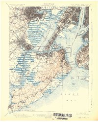
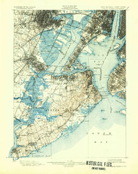
1900 Map of Staten Island
USGS Topo · Published 1926About this map
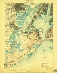
Staten Island and the surrounding waters of the Upper Bay and Newark Bay appear here during a transformative era of maritime and rail expansion. The map details the complex industrial shoreline of New Jersey, from the Morris Canal in Kearny down to the refineries of Elizabethport and Carteret. Strategic military installations guard The Narrows, including Fort Wadsworth and Fort Tompkins, while the harbor islands—Ellis Island, Governors Island, and Bedloe Id.—stand as landmarks in the approach to The Battery.
Find a feature on this map
168 named features on this map. Tap any name to fly to it.
Don’t see what you’re looking for? This feature index may not catch every label — zoom into the map to look around manually.
Map Details
Editions of this 1900 Staten Island Map
10 editions found

1900 edition
16.2 x 19.4 inches
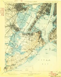
1902 edition
15.7 x 19.7 inches
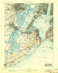
1904 edition
15.9 x 19.8 inches
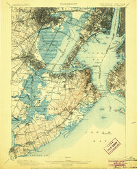
1906 edition
16.1 x 19.8 inches
1908 edition
15.8 x 19.9 inches
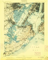
1909 edition
15.9 x 19.7 inches
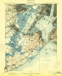
1913 edition
16 x 19.7 inches
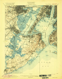
1920 edition
15.9 x 20.3 inches
1926 edition
16.47 x 20.34 inches
1932 edition
16.4 x 20.6 inches
Other maps of this area

1888 · Plainfield
USGS Topo · 1:62,500

1888 · Morristown
USGS Topo · 1:62,500

1888 · New Brunswick
USGS Topo · 1:62,500

1888 · Paterson
USGS Topo · 1:62,500

1888 · Sandy Hook
USGS Topo · 1:62,500

1889 · Brooklyn
USGS Topo · 1:62,500

1891 · Brooklyn
USGS Topo · 1:62,500

1891 · Harlem
USGS Topo · 1:62,500

1892 · Paterson
USGS Topo · 1:62,500

1893 · New Brunswick
USGS Topo · 1:62,500