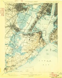
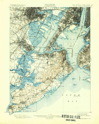
1900 Map of Staten Island
USGS Topo · Published 1902About this map
Staten Island and the industrializing coastlines of New Jersey and Brooklyn appear here during a period of massive transit and maritime development. The landscape is defined by the dense rail network of the Central Railroad of New Jersey, the Lehigh Valley R.R., and the Pennsylvania Railroad, which converge at the busy waterfronts of Elizabethport and Bayonne. Maritime safety is underscored by numerous navigational aids, including the Robbins Reef Light and the Lower Quarantine Ship anchored in the Lower Bay.
Find a feature on this map
169 named features on this map. Tap any name to fly to it.
Don’t see what you’re looking for? This feature index may not catch every label — zoom into the map to look around manually.
Map Details
Editions of this 1900 Staten Island Map
10 editions found

1900 edition
16.2 x 19.4 inches
1902 edition
15.7 x 19.7 inches
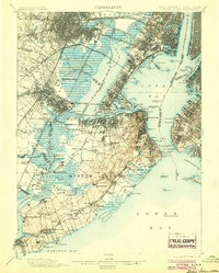
1904 edition
15.9 x 19.8 inches
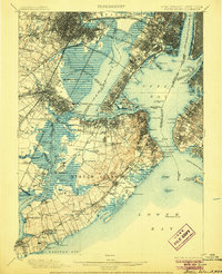
1906 edition
16.1 x 19.8 inches
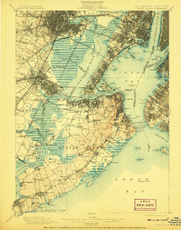
1908 edition
15.8 x 19.9 inches
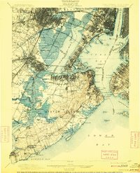
1909 edition
15.9 x 19.7 inches
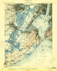
1913 edition
16 x 19.7 inches
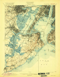
1920 edition
15.9 x 20.3 inches
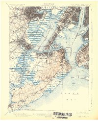
1926 edition
16.47 x 20.34 inches
1932 edition
16.4 x 20.6 inches
Other maps of this area

1888 · Plainfield
USGS Topo · 1:62,500

1888 · Morristown
USGS Topo · 1:62,500

1888 · New Brunswick
USGS Topo · 1:62,500

1888 · Paterson
USGS Topo · 1:62,500

1888 · Sandy Hook
USGS Topo · 1:62,500

1889 · Brooklyn
USGS Topo · 1:62,500

1891 · Brooklyn
USGS Topo · 1:62,500

1891 · Harlem
USGS Topo · 1:62,500

1892 · Paterson
USGS Topo · 1:62,500

1893 · New Brunswick
USGS Topo · 1:62,500