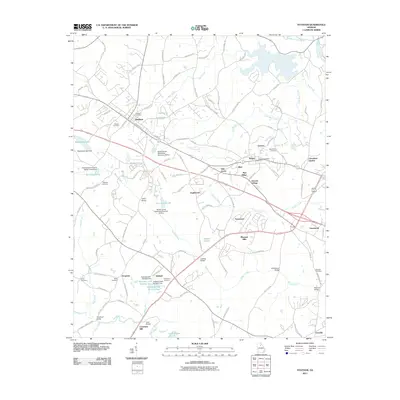
2011 Map of Statham
USGS Topo · Published 2011About this map
Statham and Bogart anchor this landscape where the Piedmont plateau begins to drain toward the Middle Oconee River. The map highlights a rural infrastructure defined by water management and genealogy, featuring numerous watershed dams such as the Barber Creek Watershed Structure 25 Dam and the twin Gasaway Lake Number One and Number Two reservoirs. For local historians, the sheet is particularly dense with family and community markers, including the Mount Zion Cemetery, Peppers Cemetery, and the Malcolm Cemetery near Eastville.
Find a feature on this map
120 named features on this map. Tap any name to fly to it.
Don’t see what you’re looking for? This feature index may not catch every label — zoom into the map to look around manually.
Map Details
Editions of this 2011 Statham Map
This is the sole edition of this map. No revisions or reprints were ever made.
Other maps of this area

1891 · Gainesville
USGS Topo · 1:125,000

1891 · Carnesville
USGS Topo · 1:125,000

1896 · Monroe
USGS Topo · 1:125,000

1953 · Athens
USGS Topo · 1:250,000

1954 · Greenville
USGS Topo · 1:250,000

1958 · Greenville
USGS Topo · 1:250,000

1958 · Athens
USGS Topo · 1:250,000

1959 · Athens
USGS Topo · 1:250,000

1963 · Athens
USGS Topo · 1:250,000

1964 · Athens West
USGS Topo · 1:24,000