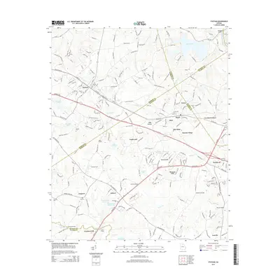
2014 Map of Statham
USGS Topo · Published 2014About this map
The Middle Oconee River and Apalachee River define the hydraulic character of this Northeast Georgia landscape, where the town of Statham serves as a central hub near the intersection of Ga-211 and the CSX railroad. Further east, the communities of Bogart and Greene occupy the high ground between Barber Creek and McNutt Cr. The map is particularly valuable for genealogical research, documenting numerous family and community burial grounds such as Peppers Cem, Millsaps Cem, and Mt Zion Cem.
Find a feature on this map
63 named features on this map. Tap any name to fly to it.
Don’t see what you’re looking for? This feature index may not catch every label — zoom into the map to look around manually.
Map Details
Editions of this 2014 Statham Map
This is the sole edition of this map. No revisions or reprints were ever made.
Other maps of this area

1891 · Gainesville
USGS Topo · 1:125,000

1891 · Carnesville
USGS Topo · 1:125,000

1896 · Monroe
USGS Topo · 1:125,000

1953 · Athens
USGS Topo · 1:250,000

1954 · Greenville
USGS Topo · 1:250,000

1958 · Greenville
USGS Topo · 1:250,000

1958 · Athens
USGS Topo · 1:250,000

1959 · Athens
USGS Topo · 1:250,000

1963 · Athens
USGS Topo · 1:250,000

1964 · Athens West
USGS Topo · 1:24,000