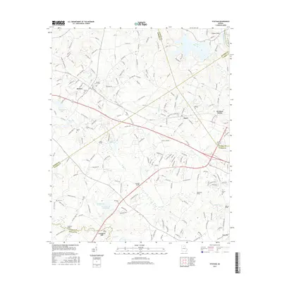
2017 Map of Statham
USGS Topo · Published 2017About this map
Statham and Bogart serve as the primary anchors for this region where the boundaries of Barrow, Jackson, Clarke, Oconee, and Walton counties converge. The local economy and transportation network are defined by the CSX Transportation railroad line, which runs parallel to the Atlanta Hwy SE, connecting the small settlements and providing a corridor for growth between larger hubs. In the southern reaches of the map, the Apalachee River and Shoal Cr carve through the landscape, leading toward Lake Oconee.
Find a feature on this map
206 named features on this map. Tap any name to fly to it.
Don’t see what you’re looking for? This feature index may not catch every label — zoom into the map to look around manually.
Map Details
Editions of this 2017 Statham Map
This is the sole edition of this map. No revisions or reprints were ever made.
Other maps of this area

1891 · Gainesville
USGS Topo · 1:125,000

1891 · Carnesville
USGS Topo · 1:125,000

1896 · Monroe
USGS Topo · 1:125,000

1953 · Athens
USGS Topo · 1:250,000

1954 · Greenville
USGS Topo · 1:250,000

1958 · Greenville
USGS Topo · 1:250,000

1958 · Athens
USGS Topo · 1:250,000

1959 · Athens
USGS Topo · 1:250,000

1963 · Athens
USGS Topo · 1:250,000

1964 · Athens West
USGS Topo · 1:24,000