2024 Map of Statham
USGS Topo · Published 2024About this map
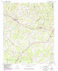
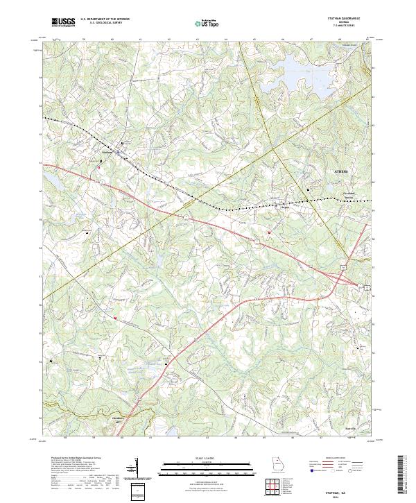
The Statham and Bogart corridors reveal a landscape where historic agrarian roots meet modern transportation arteries. Centered on the CSX Transportation line and University Pkwy, this survey documents the evolving interface of Barrow and Oconee counties. For genealogists, the map is a vital resource, locating several family-named burial grounds such as Bethabara Cem, Malcom Cem, Millsaps Cem, and Peppers Cem. The terrain is defined by its waterways, including the Middle Oconee River at Talassee Shoals in the northeast and the Apalachee River in the south.
Find a feature on this map
185 named features on this map. Tap any name to fly to it.
Don’t see what you’re looking for? This feature index may not catch every label — zoom into the map to look around manually.
Map Details
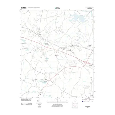
Editions of this 2024 Statham Map
This is the sole edition of this map. No revisions or reprints were ever made.
Historical Maps of Athens Through Time
6 maps found