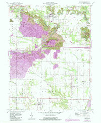
1958 Map of Staunton
USGS Topo · Published 1987About this map
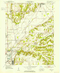
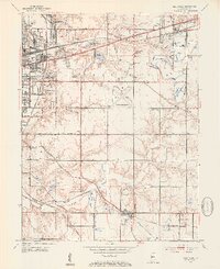
Staunton and the surrounding townships of Posey, Riley, and Perry define this landscape on the border of Vigo and Clay Counties. The mid-century era is characterized by heavy industrial land use, notably the extensive Strip Mine operations and numerous oil wells that pockmark the terrain. The central portion of the map is dominated by the Chinook State Fishing Area, a significant recreational reclamation of the local topography.
Find a feature on this map
39 named features on this map. Tap any name to fly to it.
Don’t see what you’re looking for? This feature index may not catch every label — zoom into the map to look around manually.
Map Details
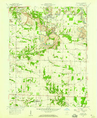
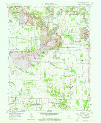
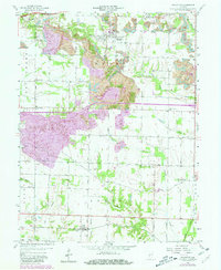
Editions of this 1958 Staunton Map
4 editions found
Other maps of this area
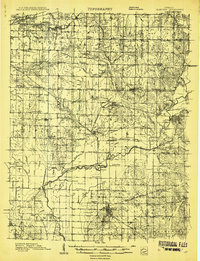
1908 · Clay City
USGS Topo · 1:48,000
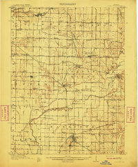
1910 · Clay City
USGS Topo · 1:62,500
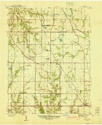
1940 · Lewis
USGS Topo · 1:24,000
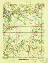
1941 · Seelyville
USGS Topo · 1:24,000
1950 · Rosedale
USGS Topo · 1:24,000
1950 · Brazil East
USGS Topo · 1:24,000
1950 · Brazil West
USGS Topo · 1:24,000
1952 · Lewis
USGS Topo · 1:24,000
1952 · Seelyville
USGS Topo · 1:24,000

1953 · Indianapolis
USGS Topo · 1:250,000