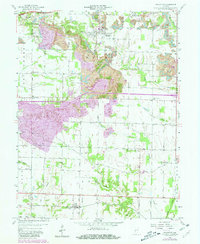
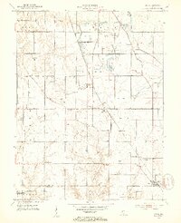
1958 Map of Staunton
USGS Topo · Published 1990About this map
The heavy industrial footprint of strip mining dominates this Clay County landscape, where extensive excavations sit alongside established rural communities. Staunton serves as a central hub, supporting local life with Staunton Sch and the West Cem while being bordered by various oil wells. The transition of the regional economy is visible through the Conrail line and the path of Interstate 70, which cuts through the township south of North Union.
Find a feature on this map
38 named features on this map. Tap any name to fly to it.
Don’t see what you’re looking for? This feature index may not catch every label — zoom into the map to look around manually.
Map Details
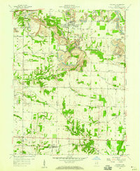
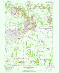
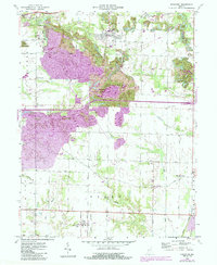
Editions of this 1958 Staunton Map
4 editions found
Other maps of this area

1908 · Clay City
USGS Topo · 1:48,000

1910 · Clay City
USGS Topo · 1:62,500

1940 · Lewis
USGS Topo · 1:24,000

1941 · Seelyville
USGS Topo · 1:24,000

1950 · Rosedale
USGS Topo · 1:24,000

1950 · Brazil East
USGS Topo · 1:24,000

1950 · Brazil West
USGS Topo · 1:24,000
1952 · Lewis
USGS Topo · 1:24,000

1952 · Seelyville
USGS Topo · 1:24,000

1953 · Indianapolis
USGS Topo · 1:250,000