
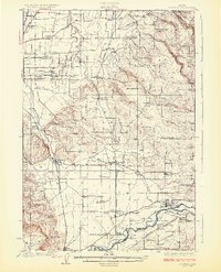
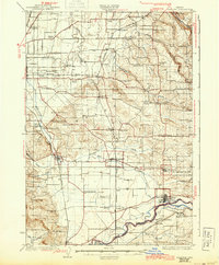
1925 Map of Stayton
USGS Topo · Published 1925About this map
The agricultural landscape of central Marion County is defined by an extensive network of small rural school districts and state institutions in the mid-1920s. The Southern Pacific railroad provides the primary industrial spine, connecting established settlements like Stayton, Aumsville, and Sublimity. To the west, the presence of the State Hospital Farm, State Tuberculosis Hospital, and a Penitentiary indicate the significant state-managed land use near the county seat.
Find a feature on this map
68 named features on this map. Tap any name to fly to it.
Don’t see what you’re looking for? This feature index may not catch every label — zoom into the map to look around manually.
Map Details
Editions of this 1925 Stayton Map
3 editions found
Other maps of this area

1912 · Jefferson
USGS Topo · 1:31,680

1915 · Eola
USGS Topo · 1:31,680

1915 · Sidney
USGS Topo · 1:31,680

1916 · Albany
USGS Topo · 1:62,500

1917 · Salem
USGS Topo · 1:62,500

1921 · Lebanon
USGS Topo · 1:62,500

1922 · Lebanon
USGS Topo · 1:48,000

1923 · Mount Angel
USGS Topo · 1:62,500

1924 · Lebanon
USGS Topo · 1:62,500

1924 · Mc Minnville
USGS Topo · 1:48,000