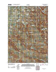
2011 Map of Stayton NE
USGS Topo · Published 2011About this map
The agricultural landscape of Marion County unfolds between the Howell Prairie and the Waldo Hills, defined by a complex network of small reservoirs and drainage systems. This area is heavily influenced by the winding course of the Pudding River and its tributaries, including the South Fork Pudding River and Drift Creek. The land use is primarily rural, with numerous named water features such as Bye Reservoir, Schmid Reservoir, and the S-M-S Reservoir Number One supporting the local farming economy.
Find a feature on this map
73 named features on this map. Tap any name to fly to it.
Don’t see what you’re looking for? This feature index may not catch every label — zoom into the map to look around manually.
Map Details
Editions of this 2011 Stayton NE Map
This is the sole edition of this map. No revisions or reprints were ever made.
Other maps of this area

1923 · Mount Angel
USGS Topo · 1:62,500

1925 · Stayton
USGS Topo · 1:62,500

1939 · Molalla
USGS Topo · 1:62,500

1940 · Molalla
USGS Topo · 1:62,500

1940 · Mount Angel
USGS Topo · 1:62,500

1941 · Stayton
USGS Topo · 1:62,500

1948 · Vancouver
USGS Topo · 1:250,000

1950 · Vancouver
USGS Topo · 1:250,000

1950 · Vancouver
USGS Topo · 1:250,000

1951 · Lyons
USGS Topo · 1:62,500