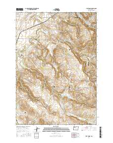
2017 Map of Stayton NE
USGS Topo · Published 2017About this map
Silverton serves as the focal point of this Marion County landscape, where the waters of Silver Creek and the Pudding River converge. The topography transitions from the agricultural flats of Howell Prairie in the northwest to the more varied elevations of the Waldo Hills in the southwest. This area is characterized by an extensive network of water management features, including the Stadeli Reservoir, Urban Reservoir, and Barnes Brothers Reservoir, which reflect the region's intensive irrigation and agricultural heritage.
Find a feature on this map
94 named features on this map. Tap any name to fly to it.
Don’t see what you’re looking for? This feature index may not catch every label — zoom into the map to look around manually.
Map Details
Editions of this 2017 Stayton NE Map
This is the sole edition of this map. No revisions or reprints were ever made.
Other maps of this area

1923 · Mount Angel
USGS Topo · 1:62,500

1925 · Stayton
USGS Topo · 1:62,500

1939 · Molalla
USGS Topo · 1:62,500

1940 · Molalla
USGS Topo · 1:62,500

1940 · Mount Angel
USGS Topo · 1:62,500

1941 · Stayton
USGS Topo · 1:62,500

1948 · Vancouver
USGS Topo · 1:250,000

1950 · Vancouver
USGS Topo · 1:250,000

1950 · Vancouver
USGS Topo · 1:250,000

1951 · Lyons
USGS Topo · 1:62,500