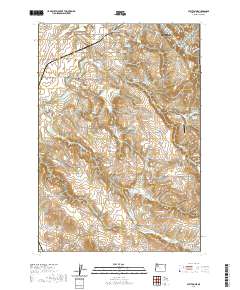
2020 Map of Stayton NE
USGS Topo · Published 2020About this map
Silverton serves as the primary hub in this portion of Marion County, where the waters of Silver Creek and Brush Cr meet. The surrounding landscape is defined by the high ground of the Waldo Hills and the productive flats of Howell Prairie, an area long known for its agricultural vitality. This 2020 map documents a sophisticated water management system through numerous private and named catchments such as Stadeli Reservoir, Kuenzi Reservoir, and the uniquely named S M S Reservoir Number One. For genealogists and local historians, the map is particularly valuable for its precise location of rural burial grounds, including the Mount Hope Cem, Pratum Cem, and the Kimsey - Walker Cem. The presence of the Iron Crown Airport south of town indicates the continued integration of private aviation into this rural landscape, while the meandering paths of the Pudding River and its south fork continue to shape the district's drainage and topography.
Find a feature on this map
92 named features on this map. Tap any name to fly to it.
Don’t see what you’re looking for? This feature index may not catch every label — zoom into the map to look around manually.
Map Details
Editions of this 2020 Stayton NE Map
This is the sole edition of this map. No revisions or reprints were ever made.
Other maps of this area

1923 · Mount Angel
USGS Topo · 1:62,500

1925 · Stayton
USGS Topo · 1:62,500

1939 · Molalla
USGS Topo · 1:62,500

1940 · Molalla
USGS Topo · 1:62,500

1940 · Mount Angel
USGS Topo · 1:62,500

1941 · Stayton
USGS Topo · 1:62,500

1948 · Vancouver
USGS Topo · 1:250,000

1950 · Vancouver
USGS Topo · 1:250,000

1950 · Vancouver
USGS Topo · 1:250,000

1951 · Lyons
USGS Topo · 1:62,500