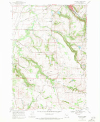
1969 Map of Stayton NE
USGS Topo · Published 1971About this map
Silverton sits at the northeastern corner of this Marion County landscape, where the waters of Silver Creek descend from the hills. The terrain is defined by the broad expanse of Howell Prairie and the undulating Waldo Hills, separated by the winding course of the Pudding River. This 1969 field check captures a rural agricultural economy interconnected by the Southern Pacific railroad and a network of country roads like Sunnyview Road NE.
Find a feature on this map
32 named features on this map. Tap any name to fly to it.
Don’t see what you’re looking for? This feature index may not catch every label — zoom into the map to look around manually.
Map Details
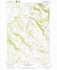
Editions of this 1969 Stayton NE Map
2 editions found
Other maps of this area

1923 · Mount Angel
USGS Topo · 1:62,500

1925 · Stayton
USGS Topo · 1:62,500

1939 · Molalla
USGS Topo · 1:62,500

1940 · Molalla
USGS Topo · 1:62,500

1940 · Mount Angel
USGS Topo · 1:62,500

1941 · Stayton
USGS Topo · 1:62,500

1948 · Vancouver
USGS Topo · 1:250,000

1950 · Vancouver
USGS Topo · 1:250,000

1950 · Vancouver
USGS Topo · 1:250,000

1951 · Lyons
USGS Topo · 1:62,500