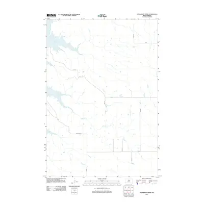
2012 Map of Steamboat Creek
USGS Topo · Published 2012About this map
Lake Oahe dominates the northwestern corner of this Potter County landscape, where the Missouri River reservoir defines the local geography. The terrain is characterized by the winding path of Steamboat Cr, which meanders through the central and southern portions of the quadrangle. This 2012 survey illustrates the systematic grid of rural roads that facilitate transit through the open country, including Akaska Rd and Co Rd 817. The map reveals a sparsely populated region primarily defined by its hydrology and transportation network. Local transit routes such as Dodge Draw Rd and various numbered avenues like 289th Ave connect the disparate parts of this prairie environment, providing an essential record of the contemporary infrastructure surrounding the significant waters of the Missouri River valley.
Find a feature on this map
13 named features on this map. Tap any name to fly to it.
Don’t see what you’re looking for? This feature index may not catch every label — zoom into the map to look around manually.
Map Details
Editions of this 2012 Steamboat Creek Map
This is the sole edition of this map. No revisions or reprints were ever made.
Other maps of this area

1953 · McIntosh
USGS Topo · 1:250,000

1958 · McIntosh
USGS Topo · 1:250,000

1968 · Akaska SW
USGS Topo · 1:24,000

1968 · Akaska
USGS Topo · 1:24,000

1968 · Moreau SE
USGS Topo · 1:24,000

1969 · Four Bear Creek
USGS Topo · 1:24,000

1969 · Patch Skin Buttes SE
USGS Topo · 1:24,000

1970 · Steamboat Creek
USGS Topo · 1:24,000

1970 · Lake Hurley
USGS Topo · 1:24,000

1970 · Lake Hurley NE
USGS Topo · 1:24,000