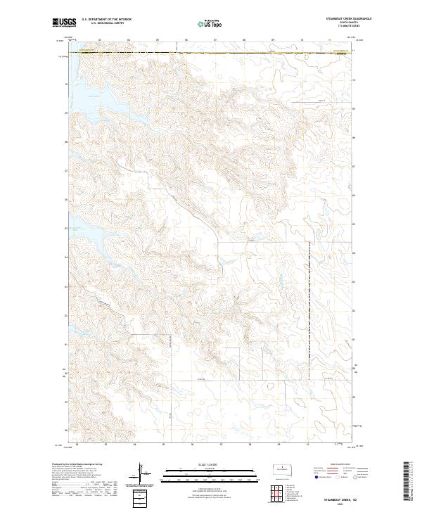
2021 Map of Steamboat Creek
USGS Topo · Published 2021About this map
Lake Oahe and the Missouri River define the western landscape of this modern quadrangle, where the water has carved deep inlets into the Potter County shoreline. These large geographic indentations, notably Steamboat Bay and Dodge Bay, reflect the transformed river valley where the current-day reservoirs meet the rolling plains. The geography is marked by drainage systems like Steamboat Cr that cut through the terrain toward the river basin.
Find a feature on this map
19 named features on this map. Tap any name to fly to it.
Don’t see what you’re looking for? This feature index may not catch every label — zoom into the map to look around manually.
Map Details
Editions of this 2021 Steamboat Creek Map
This is the sole edition of this map. No revisions or reprints were ever made.
Other maps of this area

1953 · McIntosh
USGS Topo · 1:250,000

1958 · McIntosh
USGS Topo · 1:250,000

1968 · Akaska SW
USGS Topo · 1:24,000

1968 · Akaska
USGS Topo · 1:24,000

1968 · Moreau SE
USGS Topo · 1:24,000

1969 · Four Bear Creek
USGS Topo · 1:24,000

1969 · Patch Skin Buttes SE
USGS Topo · 1:24,000

1970 · Steamboat Creek
USGS Topo · 1:24,000

1970 · Lake Hurley
USGS Topo · 1:24,000

1970 · Lake Hurley NE
USGS Topo · 1:24,000