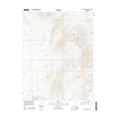
2014 Map of Steamboat Mountain
USGS Topo · Published 2014About this map
Indian Peak Range and the high summit of Steamboat Mtn dominate this remote pocket of Iron County, Utah. The landscape is defined by its water sources and high-elevation crossings, reflecting the essential geography of the Great Basin. Named points such as Bob Leroy Peaks and Bull Valley provide significant landmarks for navigation through the high desert. Historical cattle-working and ranching associations are evident in labels like Butcher Meadow and Rustlers Draw, while the presence of several isolated water sources, including Spanish George Spring, Mustang Spring, and Bob Leroy Spring, illustrates the critical nature of perennial water in this arid environment. Transportation through the high terrain is facilitated by Arrowhead Pass and Bob Leroy Pass, which cut through the steep contours of the range.
Find a feature on this map
21 named features on this map. Tap any name to fly to it.
Don’t see what you’re looking for? This feature index may not catch every label — zoom into the map to look around manually.
Map Details
Editions of this 2014 Steamboat Mountain Map
This is the sole edition of this map. No revisions or reprints were ever made.
Other maps of this area

1885 · St. George
USGS Topo · 1:250,000

1891 · St. George
USGS Topo · 1:250,000

1953 · Richfield
USGS Topo · 1:250,000

1953 · Cedar City
USGS Topo · 1:250,000

1958 · Richfield
USGS Topo · 1:250,000

1958 · Cedar City
USGS Topo · 1:250,000

1962 · Cedar City
USGS Topo · 1:250,000

1971 · Observation Knoll
USGS Topo · 1:24,000

1971 · Pinto Spring
USGS Topo · 1:24,000

1971 · Steamboat Mtn SW
USGS Topo · 1:24,000