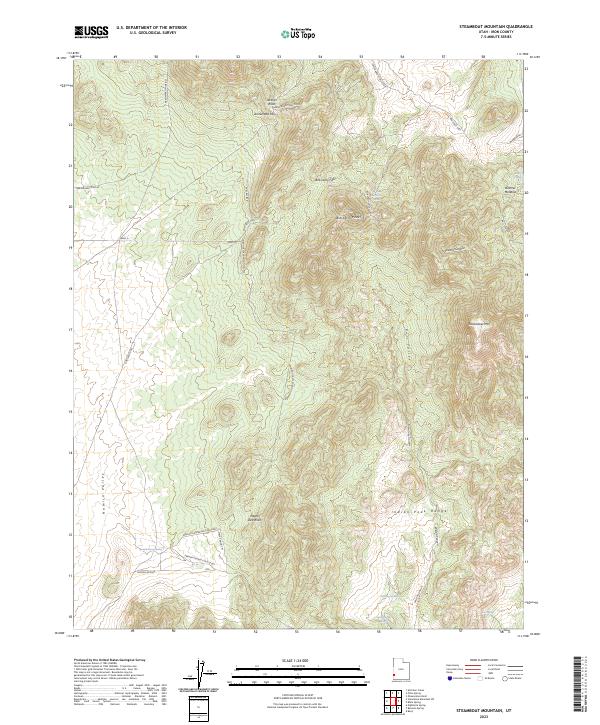
2023 Map of Steamboat Mountain
USGS Topo · Published 2023About this map
Steamboat Mtn and the high ridges of the Indian Peak Range dominate this corner of Iron County, Utah. The landscape is defined by its seasonal water sources and the legacy of early access routes through the high desert. Several named springs, including Pinto Spring and the curiously named Spanish George Spring, provided vital stopovers for travelers and livestock in a land where Jackson Wash and Negro Liza Wash typically run dry.
Find a feature on this map
29 named features on this map. Tap any name to fly to it.
Don’t see what you’re looking for? This feature index may not catch every label — zoom into the map to look around manually.
Map Details
Editions of this 2023 Steamboat Mountain Map
This is the sole edition of this map. No revisions or reprints were ever made.
Other maps of this area

1885 · St. George
USGS Topo · 1:250,000

1891 · St. George
USGS Topo · 1:250,000

1953 · Richfield
USGS Topo · 1:250,000

1953 · Cedar City
USGS Topo · 1:250,000

1958 · Richfield
USGS Topo · 1:250,000

1958 · Cedar City
USGS Topo · 1:250,000

1962 · Cedar City
USGS Topo · 1:250,000

1971 · Observation Knoll
USGS Topo · 1:24,000

1971 · Pinto Spring
USGS Topo · 1:24,000

1971 · Steamboat Mtn SW
USGS Topo · 1:24,000