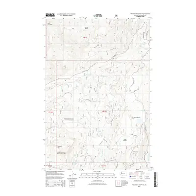
2014 Map of Steamboat Mountain
USGS Topo · Published 2014About this map
Gifford Pinchot National Forest encompasses this high-elevation landscape in Skamania County, anchored by the prominent Steamboat Mtn. The terrain is defined by a complex network of drainages including the Lewis River and the White Salmon River, which flow through heavily forested mountains and clearings like Mulligan Meadow and Grand Meadows. The mapping shows a significant protected environment, specifically the Steamboat Mountain Research Natural Area, indicating the ecological importance of this particular peak and its surrounding subalpine habitat.
Find a feature on this map
49 named features on this map. Tap any name to fly to it.
Don’t see what you’re looking for? This feature index may not catch every label — zoom into the map to look around manually.
Map Details
Editions of this 2014 Steamboat Mountain Map
This is the sole edition of this map. No revisions or reprints were ever made.
Other maps of this area

1926 · Steamboat Mtn
USGS Topo · 1:125,000

1931 · Steamboat Mtn
USGS Topo · 1:125,000

1950 · Yakima
USGS Topo · 1:250,000

1958 · Yakima
USGS Topo · 1:250,000

1961 · Yakima
USGS Topo · 1:250,000
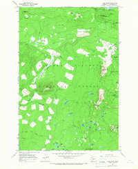
1965 · Lone Butte
USGS Topo · 1:24,000
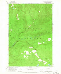
1965 · Quartz Creek Butte
USGS Topo · 1:24,000
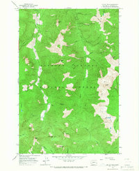
1965 · Mc Coy Peak
USGS Topo · 1:24,000
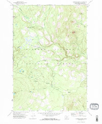
1970 · Sleeping Beauty
USGS Topo · 1:24,000
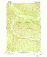
1970 · East Canyon Ridge
USGS Topo · 1:24,000