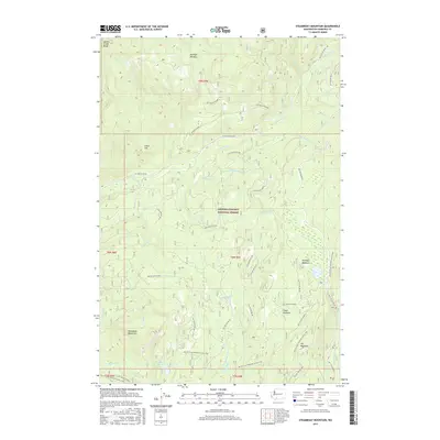
2017 Map of Steamboat Mountain
USGS Topo · Published 2017About this map
Steamboat Mountain rises as a central landmark in this 2017 survey of the Gifford Pinchot National Forest in Skamania County. The landscape is defined by its complex drainage systems, where the Lewis River and the White Salmon River are fed by numerous tributaries including N-Fork Swampy Cr, Pass Cr, and Boulder Cr. This modern topographic study reveals a high-elevation environment dominated by open clearings like Mulligan Meadow and Grand Meadows. For those tracing historical or recreational routes, the map clearly delineates the Pacific Crest National Scenic Trail as it winds through the southern and eastern sectors, passing near Steamboat Lake. The network of Forest Service roads, such as Nat For Dev RD 90, underscores the area's continued use for forest management and back-country access.
Find a feature on this map
50 named features on this map. Tap any name to fly to it.
Don’t see what you’re looking for? This feature index may not catch every label — zoom into the map to look around manually.
Map Details
Editions of this 2017 Steamboat Mountain Map
This is the sole edition of this map. No revisions or reprints were ever made.
Other maps of this area

1926 · Steamboat Mtn
USGS Topo · 1:125,000

1931 · Steamboat Mtn
USGS Topo · 1:125,000

1950 · Yakima
USGS Topo · 1:250,000

1958 · Yakima
USGS Topo · 1:250,000

1961 · Yakima
USGS Topo · 1:250,000
1965 · Lone Butte
USGS Topo · 1:24,000
1965 · Quartz Creek Butte
USGS Topo · 1:24,000
1965 · Mc Coy Peak
USGS Topo · 1:24,000
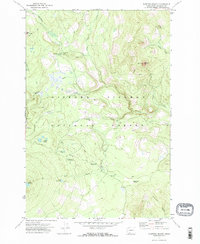
1970 · Sleeping Beauty
USGS Topo · 1:24,000
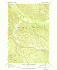
1970 · East Canyon Ridge
USGS Topo · 1:24,000