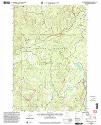
1998 Map of Steamboat Mountain
USGS Topo · Published 2003About this map
Gifford Pinchot National Forest dominates this landscape, showing the complex watershed and recreational geography of the Cascades during the late 1990s. The map highlights a significant section of the Pacific Crest National Scenic Trail as it winds past Island Shelter and high terrain like Steamboat Mtn. The hydrological network is intricately detailed, from the Lewis River and Twin Falls in the north to the White Salmon River and Trout Lake Creek in the southeast. Evidence of the area's resource and recreation history is visible through the presence of the Williams Mine, various Gravel Pit locations, and established sites like the Twin Falls Campground. This 1998 revision provides a clear record of forest management boundaries and high-altitude meadow systems such as Grand Meadows and Mulligan Meadow.
Find a feature on this map
30 named features on this map. Tap any name to fly to it.
Don’t see what you’re looking for? This feature index may not catch every label — zoom into the map to look around manually.
Map Details
Editions of this 1998 Steamboat Mountain Map
This is the sole edition of this map. No revisions or reprints were ever made.
Other maps of this area

1926 · Steamboat Mtn
USGS Topo · 1:125,000

1931 · Steamboat Mtn
USGS Topo · 1:125,000

1950 · Yakima
USGS Topo · 1:250,000

1958 · Yakima
USGS Topo · 1:250,000

1961 · Yakima
USGS Topo · 1:250,000
1965 · Lone Butte
USGS Topo · 1:24,000
1965 · Quartz Creek Butte
USGS Topo · 1:24,000
1965 · Mc Coy Peak
USGS Topo · 1:24,000
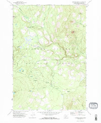
1970 · Sleeping Beauty
USGS Topo · 1:24,000
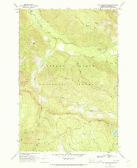
1970 · East Canyon Ridge
USGS Topo · 1:24,000