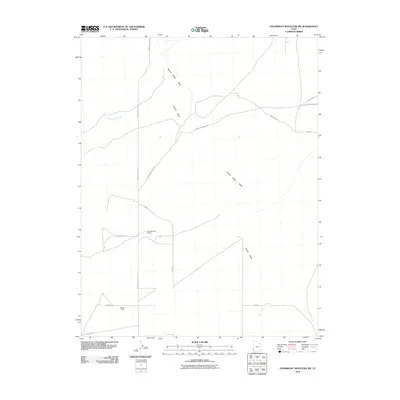
2010 Map of Steamboat Mountain SW
USGS Topo · Published 2010About this map
Hamlin Valley defines the character of this corner of Iron County, where the high desert terrain is marked by seasonal drainages and a sparse network of ranching and mining roads. The primary north-south artery, Hamlin Valley Rd, connects isolated sites like Chaney Ranch to the surrounding wilderness. The landscape is carved by the intermittent flow of Hamlin Valley Wash, while smaller water features such as Chokecherry Creek and Butcher Spring Trough indicate the vital importance of water management in this arid environment. The road names themselves, including Arrowhead Mine Rd and State Line Rd, hint at the area's historical industries and its position along the boundary between Utah and Nevada. This map provides a clear look at the infrastructure of the Great Basin just after the first decade of the 2000s.
Find a feature on this map
16 named features on this map. Tap any name to fly to it.
Don’t see what you’re looking for? This feature index may not catch every label — zoom into the map to look around manually.
Map Details
Editions of this 2010 Steamboat Mountain SW Map
This is the sole edition of this map. No revisions or reprints were ever made.
Other maps of this area

1885 · St. George
USGS Topo · 1:250,000

1885 · Pioche
USGS Topo · 1:250,000

1886 · Pioche
USGS Topo · 1:250,000

1891 · St. George
USGS Topo · 1:250,000

1953 · Richfield
USGS Topo · 1:250,000

1953 · Cedar City
USGS Topo · 1:250,000

1954 · Caliente
USGS Topo · 1:250,000

1956 · Lund
USGS Topo · 1:250,000

1958 · Richfield
USGS Topo · 1:250,000

1958 · Cedar City
USGS Topo · 1:250,000