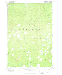
1970 Map of Steamboat Mtn.
USGS Topo · Published 1974About this map
Gifford Pinchot National Forest dominates this topographic study, revealing a high-elevation landscape defined by glacial meadows and volcanic peaks. The Lewis River Trail and the Pacific Crest National Scenic Trail provide the primary transit through this terrain, connecting remote waypoints like the Island Shelter and the alpine Steamboat Lake. The drainage network is complex, featuring the upper reaches of the Lewis River and Trout Lake Creek, alongside prominent vertical drops such as Twin Falls. Evidence of localized resource extraction appears at the Williams Mine and several Gravel Pits, while expansive clearings like Grand Meadows and Swampy Meadows illustrate the natural openings within the dense forest canopy. The prominence of Steamboat Mtn and Table Mtn. provide significant landmarks for navigating this portion of the Washington Cascades as it was surveyed in 1970.
Find a feature on this map
36 named features on this map. Tap any name to fly to it.
Don’t see what you’re looking for? This feature index may not catch every label — zoom into the map to look around manually.
Map Details
Editions of this 1970 Steamboat Mtn. Map
This is the sole edition of this map. No revisions or reprints were ever made.
Other maps of this area

1926 · Steamboat Mtn
USGS Topo · 1:125,000

1931 · Steamboat Mtn
USGS Topo · 1:125,000

1950 · Yakima
USGS Topo · 1:250,000

1958 · Yakima
USGS Topo · 1:250,000

1961 · Yakima
USGS Topo · 1:250,000
1965 · Lone Butte
USGS Topo · 1:24,000
1965 · Quartz Creek Butte
USGS Topo · 1:24,000
1965 · Mc Coy Peak
USGS Topo · 1:24,000
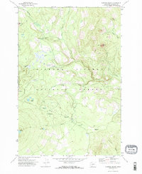
1970 · Sleeping Beauty
USGS Topo · 1:24,000
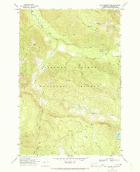
1970 · East Canyon Ridge
USGS Topo · 1:24,000