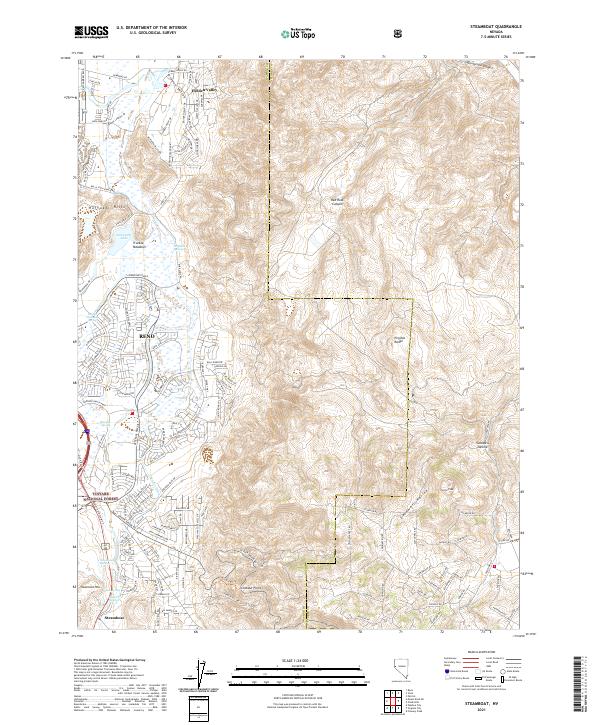
2021 Map of Steamboat
USGS Topo · Published 2021About this map
The Reno metropolitan area meets the high desert landscape of the Virginia Range in this modern survey, revealing a geography defined by geothermal features and recent urban expansion. In the southern reaches of the city, the Truckee Meadows provide a level basin for developments like Hidden Valley and Steamboat, while the surrounding terrain is marked by distinctive springs such as Reno Hot Springs and Alum Spring.
Find a feature on this map
129 named features on this map. Tap any name to fly to it.
Don’t see what you’re looking for? This feature index may not catch every label — zoom into the map to look around manually.
Map Details
Editions of this 2021 Steamboat Map
This is the sole edition of this map. No revisions or reprints were ever made.
Other maps of this area

1891 · Carson
USGS Topo · 1:125,000

1891 · Reno
USGS Topo · 1:125,000

1893 · Carson
USGS Topo · 1:125,000

1893 · Reno
USGS Topo · 1:125,000

1950 · Virginia City
USGS Topo · 1:62,500

1950 · Mt. Rose
USGS Topo · 1:62,500

1950 · Reno
USGS Topo · 1:62,500

1951 · Reno
USGS Topo · 1:62,500

1952 · Mt. Rose
USGS Topo · 1:62,500

1952 · Virginia City
USGS Topo · 1:62,500