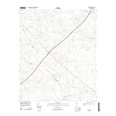
2014 Map of Steedman
USGS Topo · Published 2014About this map
The N Fork Edisto River forms a natural boundary between Lexington Co and Aiken Co, anchoring a landscape defined by its complex network of creeks and millponds. The settlement of Steedman sits just north of the river crossing, where Steedman Bridge once facilitated travel between the two counties. This area is characterized by a high concentration of small water bodies and family-named landmarks, such as Abells Millpond and Hallman Millpond, suggesting a history of local milling and agricultural water management.
Find a feature on this map
107 named features on this map. Tap any name to fly to it.
Don’t see what you’re looking for? This feature index may not catch every label — zoom into the map to look around manually.
Map Details
Editions of this 2014 Steedman Map
This is the sole edition of this map. No revisions or reprints were ever made.
Other maps of this area

1920 · Aiken
USGS Topo · 1:48,000

1921 · Aiken
USGS Topo · 1:62,500

1943 · Aiken
USGS Topo · 1:62,500

1944 · Gilbert
USGS Topo · 1:62,500

1944 · Seivern
USGS Topo · 1:62,500

1954 · Augusta
USGS Topo · 1:250,000

1957 · Augusta
USGS Topo · 1:250,000

1958 · Augusta
USGS Topo · 1:250,000

1961 · Augusta
USGS Topo · 1:250,000

1962 · Augusta
USGS Topo · 1:250,000