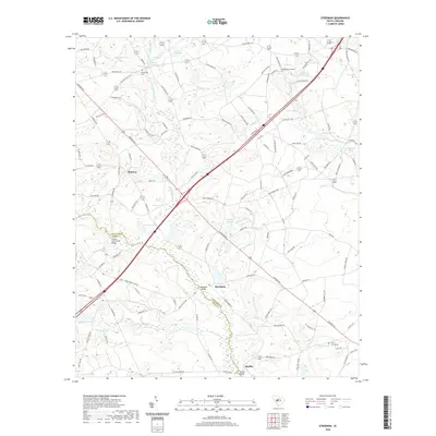
2020 Map of Steedman
USGS Topo · Published 2020About this map
The N Fork Edisto River and its numerous tributaries, including Goose Platter Cr and Carneys Creek, define the rural landscape of this Lexington and Aiken County border region. Local settlement patterns are centered around the small communities of Steedman and Samaria, while the smaller hamlet of Rayflin sits to the south near the Rayflin Bridge. The terrain is characterized by a high concentration of private water features such as Brodie Millpond, Abells Millpond, and Bouknight Pond, reflecting a history of local water management for agriculture or milling. Genealogists will find notable burial sites including Boatwright Cem and Bethlehem Cem, alongside landmarks like the Old Rowe School and the Francis Cyril Jones Bridge, which facilitate travel through this creek-crossed countryside.
Find a feature on this map
117 named features on this map. Tap any name to fly to it.
Don’t see what you’re looking for? This feature index may not catch every label — zoom into the map to look around manually.
Map Details
Editions of this 2020 Steedman Map
This is the sole edition of this map. No revisions or reprints were ever made.
Other maps of this area

1920 · Aiken
USGS Topo · 1:48,000

1921 · Aiken
USGS Topo · 1:62,500

1943 · Aiken
USGS Topo · 1:62,500

1944 · Gilbert
USGS Topo · 1:62,500

1944 · Seivern
USGS Topo · 1:62,500

1954 · Augusta
USGS Topo · 1:250,000

1957 · Augusta
USGS Topo · 1:250,000

1958 · Augusta
USGS Topo · 1:250,000

1961 · Augusta
USGS Topo · 1:250,000

1962 · Augusta
USGS Topo · 1:250,000