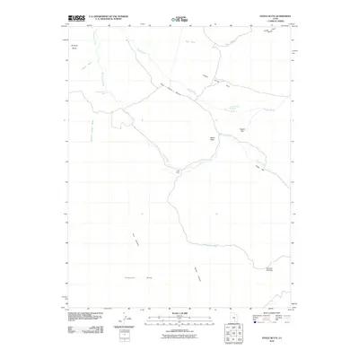
2010 Map of Steele Butte
USGS Topo · Published 2010About this map
King Ranch sits as a lonely outpost within this high-desert landscape of Garfield County, marking a site of human activity in an otherwise austere environment. The geography is defined by prominent landforms such as Steele Butte and the broad expanses of Tarantula Mesa and Wildcat Mesa. A complex network of drainages, including Sweetwater Creek, South Creek, and Dugout Wash, illustrates the seasonal water patterns of the region, while isolated water sources like Dave Teeples Spring and Dripping Rock Seep highlight the vital, scarce resources available to early ranching operations.
Find a feature on this map
20 named features on this map. Tap any name to fly to it.
Don’t see what you’re looking for? This feature index may not catch every label — zoom into the map to look around manually.
Map Details
Editions of this 2010 Steele Butte Map
This is the sole edition of this map. No revisions or reprints were ever made.
Other maps of this area

1885 · San Rafael
USGS Topo · 1:250,000

1885 · Fish Lake
USGS Topo · 1:250,000

1886 · Escalante
USGS Topo · 1:250,000

1886 · Henry Mountains
USGS Topo · 1:250,000

1892 · Henry Mountains
USGS Topo · 1:250,000

1896 · Fish Lake
USGS Topo · 1:250,000

1952 · Notom 4 SE
USGS Topo · 1:24,000

1952 · Mt Pennell 2 NE
USGS Topo · 1:24,000

1952 · Notom 4 NE
USGS Topo · 1:24,000

1952 · Notom
USGS Topo · 1:62,500