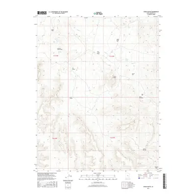
2017 Map of Steele Butte
USGS Topo · Published 2017About this map
Steele Butte rises as a central landmark within this high-desert landscape of Garfield County, marking the northern reaches of the Henry Mountains. The drainage patterns here are defined by seasonal watercourses like Dugout Cr and Sweetwater Cr, which have carved intricate systems of canyons and hollows over time. Topographic features such as Pete Steele Bench and Apple Brush Flat suggest a history of localized naming, likely tied to early ranching or exploration in this arid region.
Find a feature on this map
23 named features on this map. Tap any name to fly to it.
Don’t see what you’re looking for? This feature index may not catch every label — zoom into the map to look around manually.
Map Details
Editions of this 2017 Steele Butte Map
This is the sole edition of this map. No revisions or reprints were ever made.
Other maps of this area

1885 · San Rafael
USGS Topo · 1:250,000

1885 · Fish Lake
USGS Topo · 1:250,000

1886 · Escalante
USGS Topo · 1:250,000

1886 · Henry Mountains
USGS Topo · 1:250,000

1892 · Henry Mountains
USGS Topo · 1:250,000

1896 · Fish Lake
USGS Topo · 1:250,000

1952 · Notom 4 SE
USGS Topo · 1:24,000

1952 · Mt Pennell 2 NE
USGS Topo · 1:24,000

1952 · Notom 4 NE
USGS Topo · 1:24,000

1952 · Notom
USGS Topo · 1:62,500